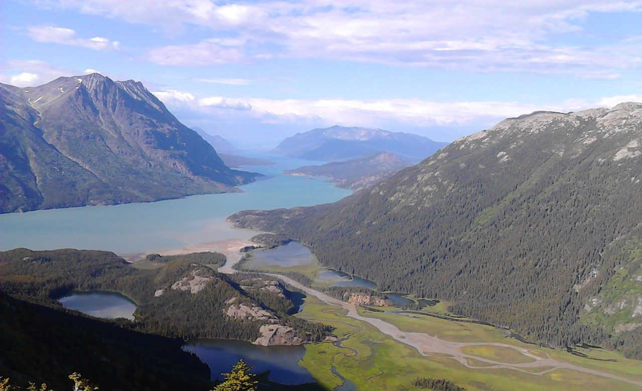
Autonomous airborne magnetic surveying for mineral exploration
Operating across Canada and Australia
Our services
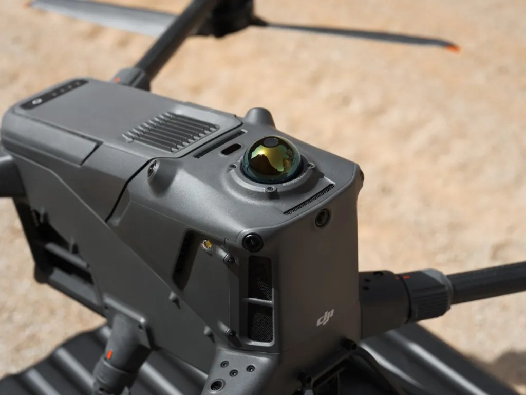
Data Acquisition
MAGpie employs a heavy-lifting multicopter style UAV equipped with a GEM Systems GSMP 35-U, offering the highest available sensitivity, accuracy, and gradient tolerance of any drone magnetometer on the market.
We also offer lidar, VLF, and gamma spectrometry on request.
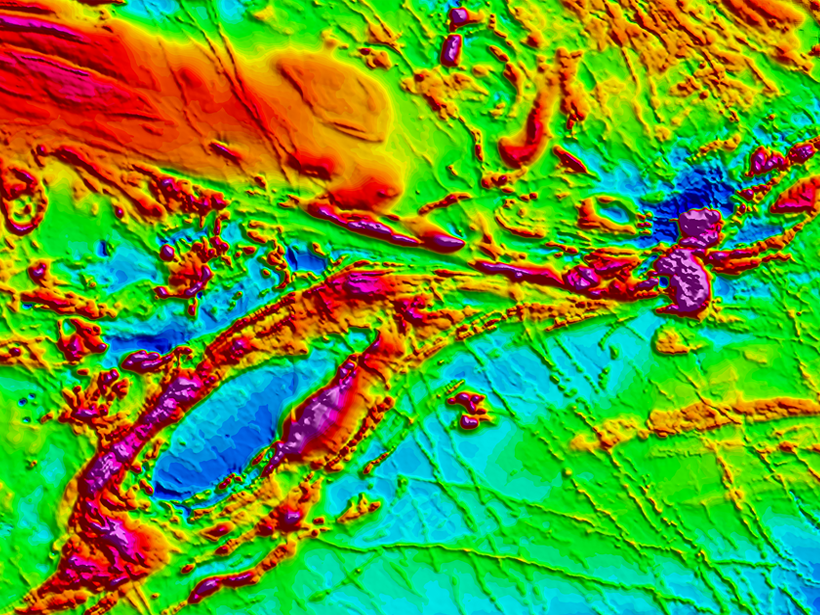
Data Processing
MAGpie optionally offers data processing services, including derivative products, geological interpretation, 3D inversion and modelling, overseen by a licensed PGeo. Please consult with us in advance to determine which data products best suit your operation.

Fully Certified
We are accustomed to the unique challenges that working north of 60 present. Our pilots are both RPAS/RePL and ROC-A certified, and all of our data products undergo QA/QC by a certified P.Geo.


